Crack the Code. Read the Sky.
Interactive Sectional Chart Training
Most chart training makes you memorise a legend. Here the real FAA sectional is the classroom — you pan it, tap it, slice it and use it to make pilot and drone-operator decisions.
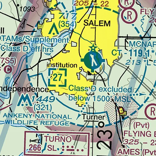
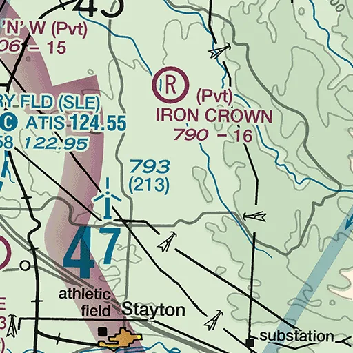
KSLE — Salem
That's the real printed data block from the current Seattle Sectional. Tap it apart with the Airport Exploder — every airport in the country reads the same way.
Built on the chart, not beside it
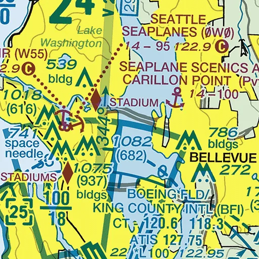
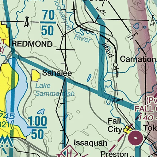
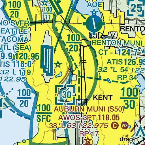
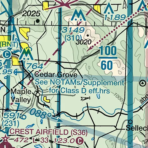
Airport Exploder
Tap an airport and its printed data flies apart — each piece tied back to exactly where it's printed.
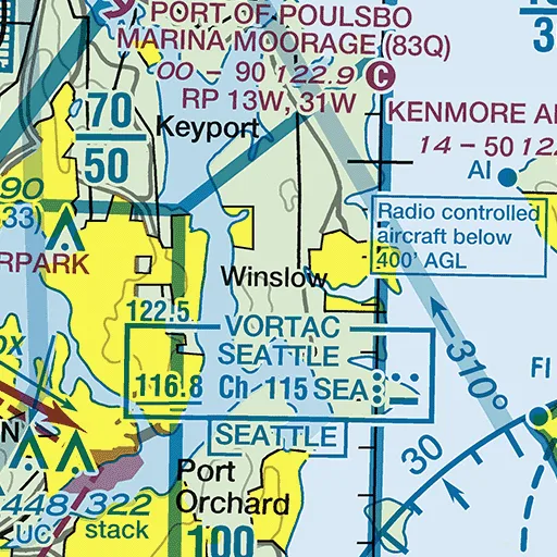
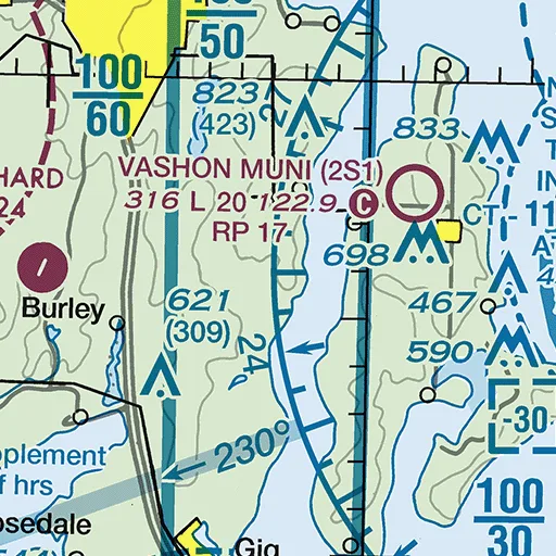
3D Airspace
Turn flat Class B lines into the stacked shelves they really are — top, side and 3D views from real FAA values.
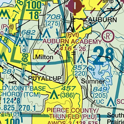
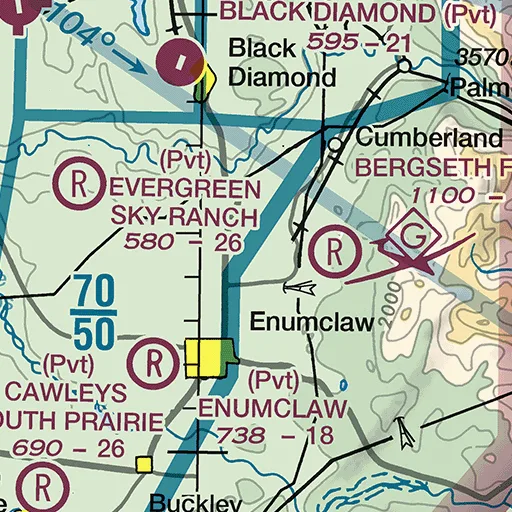
Airspace Slice
Draw a line across airspace and get a true vertical cross-section with real terrain underneath.
Chart X-Ray
Dim everything except airspace, airports, obstacles, NAVAIDs or terrain. Learn to filter the chart.
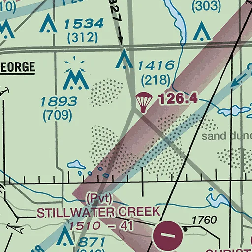
Obstacle Inspector
MSL on top, AGL in parentheses — standing on real terrain. Built for pilots and drone operators.
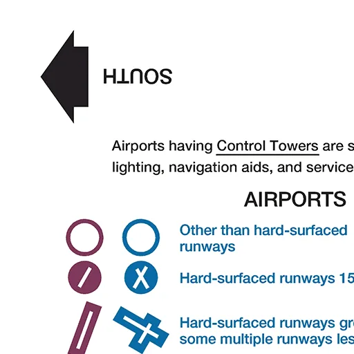
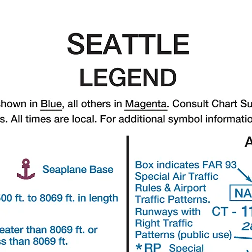
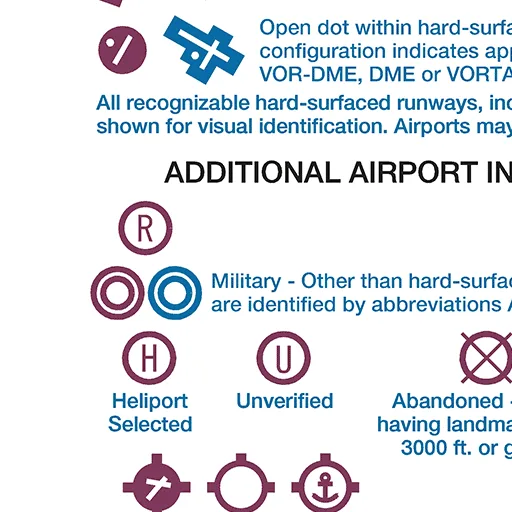
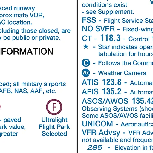
Legend Mode
The chart's own printed legend, made interactive — then find a live example on the chart face.
Twelve levels
- Effective
- September 3, 2026
- Next edition
- October 29, 2026
- Scale
- 1:500,000
- Source
- FAA Aeronautical Information Services — VFR Raster Chart (GeoTIFF)
Training use only. This app does not replace current charts, NOTAMs, the Chart Supplement or a preflight briefing.